Risk assessment for underground utility damage due to spatial data quality.
1
Katedra Geodezji, Uniwersytet Rolniczy w Krakowie
Katedra Geodezji, Poland
2
Wydział Geodezji Górniczej i Inżynierii Środowiska
Katedra Geodezji Zintegrowanej i Kartografii, Akademia Górniczo-Hutnicza im. Stanisława Staszica w Krakowie, Poland
Submission date: 2023-06-30
Final revision date: 2023-11-30
Acceptance date: 2023-12-16
Publication date: 2024-12-04
Corresponding author
Archives of Civil Engineering 2024;70(4):135-148
KEYWORDS
TOPICS
ABSTRACT
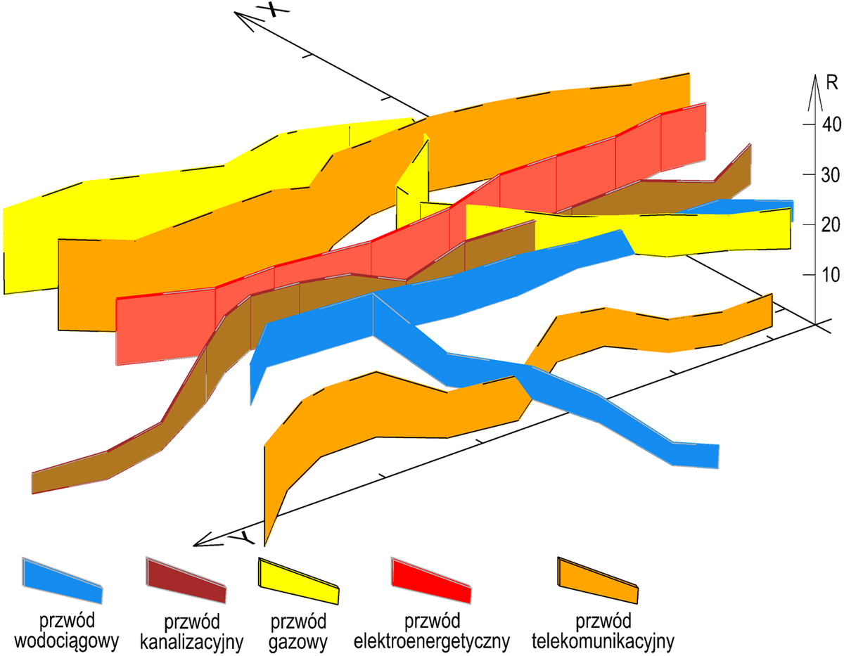
Spatial data are used in a variety of projects. Their quality directly contributes to the project's success. One of the risk sources for underground utility damage in construction works is the quality of spatial data. The article presents the results of research on a method for estimating underground utility damage risk. It consists in calculating the risk (both qualitative and quantitative risk) from specific risk factors and impact weights. The primary risk factors are incomplete spatial datasets and horizontal and vertical position accuracy of objects in the database. The calculated risk value is within 7.0 to 34.2 points. This means that the minimum risk of damage to underground utilities during construction works is 7.0 points and the maximum risk of 34.2 points is nearly five times higher. We also developed a risk map of underground utility damage. It is a thematic map with qualitative project risk. The proposed map is a 2D and 3D cartographic document that represents the actual risk of damage to underground utilities due to spatial data quality.
Share
RELATED ARTICLE
We process personal data collected when visiting the website. The function of obtaining information about users and their behavior is carried out by voluntarily entered information in forms and saving cookies in end devices. Data, including cookies, are used to provide services, improve the user experience and to analyze the traffic in accordance with the Privacy policy. Data are also collected and processed by Google Analytics tool (more).
You can change cookies settings in your browser. Restricted use of cookies in the browser configuration may affect some functionalities of the website.
You can change cookies settings in your browser. Restricted use of cookies in the browser configuration may affect some functionalities of the website.


