

Analysis of soil-structure interaction using 2D/3D FEM calculations in geotechnical design
1
Geotechnical, Geotechnical Engineering Office, Arcadis Poland, Poland
2
Underground Structures, Bridges and Roads, Civil Engineering, Warsaw University of Technology, Poland
These authors had equal contribution to this work
Submission date: 2024-09-05
Acceptance date: 2025-06-10
Publication date: 2025-12-01
Corresponding author
Archives of Civil Engineering 2025;71(4):527-541
KEYWORDS
TOPICS
ABSTRACT
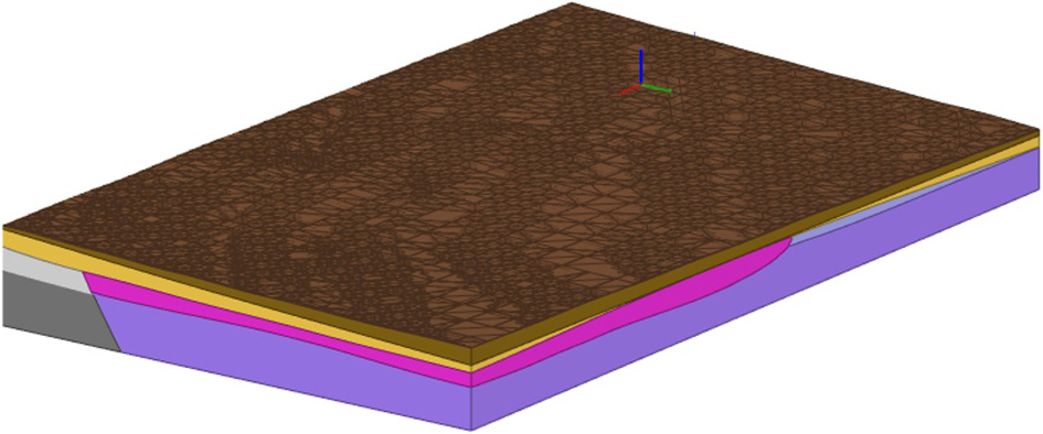
Geotechnical design is a complex, interdisciplinary field involving soil science, mechanics, and rheology. This article presents a comprehensive solution for geotechnical design using digital data from various programs, focusing on Ultimate Limit State(ULS) and Serviceability Limit State(SLS) analysis for a storage hall foundation in challenging geotechnical conditions in eastern Germany. The study utilizes the groundwater conditions and layer layout from the Leapfrog software to create a spatial computational model of the subsoil using Plaxis 3D FEM based on nearly 400 virtual boreholes. Data on hall geometry and load combinations were stored in digital IFC format and tabular data in Excel files respectively. The analysis involved both analytical and FEM 3D/2D methods. In the analytical method, all digital information was collected into one Excel file database for further calculations. Once the consistent digital project database was collected, the same data was implemented into the Plaxis 3D program for FEM numerical calculations. The foundation solution used footings supported by piles. Soil layer parameters were calibrated based on pile tests during design calculations. Due to part of the hall being located in a high embankment (about 5 meters high), consolidation analysis of cohesive soils in the area was considered. The impact of consolidation was factored into negative skin friction in the ULS pile design process. Pile geometry was tailored to existing soil conditions and weak bearing soil thickness. The final foundation geometry and pile lengths were designed to meet SLS conditions set by the structural designer and to address uneven building settlement.
Share
RELATED ARTICLE
| eISSN: | 2300-3103 |
| ISSN: | 1230-2945 |
We process personal data collected when visiting the website. The function of obtaining information about users and their behavior is carried out by voluntarily entered information in forms and saving cookies in end devices. Data, including cookies, are used to provide services, improve the user experience and to analyze the traffic in accordance with the Privacy policy. Data are also collected and processed by Google Analytics tool (more).
You can change cookies settings in your browser. Restricted use of cookies in the browser configuration may affect some functionalities of the website.
You can change cookies settings in your browser. Restricted use of cookies in the browser configuration may affect some functionalities of the website.